Transferring the town – a shift up the hill caused by … an execution?
Distance can bring a new perspective to the familiar and it wasn’t until after I’d left St Albans that I began to consider why the small city I’d lived in had developed on top of a hill and not around the valley of the River Ver where the Roman town of Verulamium, and its ousted Iron Age predecessor Verlamion, had been sited. That option was largely determined by the crossing point on the river (see here), and would also have provided a source of water, an essential element that’s instigated the growth of most towns and cities.
Part of the cause of St Albans’ hilltop position could have been the scale and flow of the river itself – although the water had powered mills for centuries it’s a seasonal watercourse, a chalk stream1, and the flow varies over the year. The river was not deep or wide either so insufficiently navigable for any serious trading to develop there. Aside from these practical concerns though, curiously, it took a religious conflict in the 3rd century CE to very gradually initiate the transfer of the settlement half a mile up the hill.
Britain’s first Christian martyr
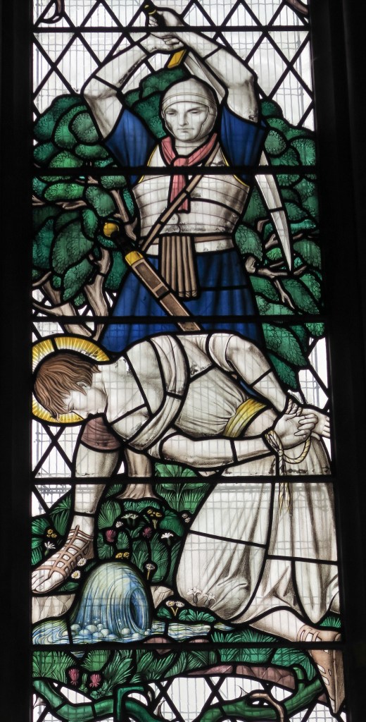
Christianity had begun to infiltrate the Roman world in Britain, including Verulamium, and in the late Roman, early Christian period (sometime between 209 – 305 AD), a Roman citizen named Alban sheltered a Christian priest from persecution (later, in the mediaeval period, assigned the name of Amphibalus), converted to Christianity himself and was subsequently beheaded on a hill, and outside Verulamium’s city walls, as was the Roman custom. This was the incident that ultimately instigated a shift of location.
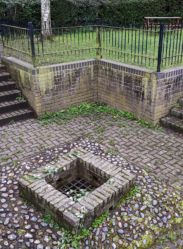
A spring gushed out of the ground at the site of his execution either before his beheading (when he asked God for water to drink), or afterwards on the site where he’d fallen, or in a more ghoulish version, where his head came to rest after rolling down what is now known as Holywell Hill. There is still a well head on this alleged site, but on my visit in 2022 it appeared completely dry.
Another potential location for Alban’s execution in around 290 CE, suggested by Professor Martin Biddle, is the site of the Folly Lane burial (see here), which is the highest point in the town. By that time it was a Romano British ritual centre where finds from the the 1990s dig of the chieftain’s elaborate cremation of around 50 CE included a decapitated human skull, horse skulls and intentionally broken ceramic face pots – items suggesting a head cult. “Perhaps the early Christian writers absorbed the pagan influence of Verulamium when writing their accounts [of Alban’s execution]”. From the Roman Verulamium Museum Guide, 2023.
King Offa founds a monastery
As Britain’s first Christian martyr, the story of his execution spread and must have made a lasting impact; in 793 King Offa founded a monastery on the site of Alban’s burial (or execution depending on which version you read – see here for more), near the current location of the Abbey that was built in the 12th century, on the second highest hill in the area.
Nothing of this original Abbey building remains (it was likely to have been sacked by Saxons or violated by Vikings in the 6th and 7th centuries) nevertheless the monastery survived and, thrived. In around 940, Abbot Ulsinus (also known as Wulsin) founded three new churches in or near the town – attractive to more pilgrims – and diverted Watling Street from where it had once entered the city of Verulamium (by this time inhabited only by bandits, so not pilgrim-friendly) to follow a route up Hollywell Hill to the Abbey.
Entrepreneurial Abbot shapes a new town, for pilgrims (and residents)
Presumably the lack of potential for trade via the river led the resourceful Abbot Ulsinus to establish a market in 860 “to generate income for the Abbey and to form the centre of a new town”. The street market is still going and the area around the market largely retains the layout from that period. Ulsinus was an early town planner and something of an entrepreneur.
The Norman Abbey – important, wealthy and a major landowner
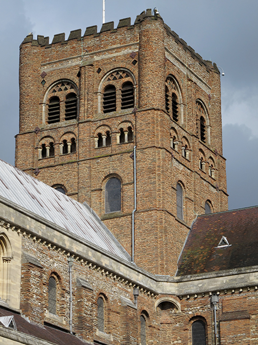
During the Norman era a new Abbey was eventually built using flint, brick, tiles and stone from the Roman City at the bottom of the valley by the River Ver, carried up the hill to create this monumental landmark (see photo above), completed by 1115. The Abbey became one of the most important, rich and powerful monastic communities in England; “The main local landowner and source of political and economic power in the Middle Ages…”. From the Ver Valley Society’s website
The revenue-generating pilgrimage trade and the market helped both to fill the Abbey’s coffers and fuel the expansion of this ‘new’ settlement into a prosperous market town and by 1479 it had become an important centre of book printing.
The Abbey owned most of the mills along the River Ver and “… knew how essential milling was to daily life. The punishments they imposed for private milling forced people to pay to use the Abbey’s watermills, helping to incite the 1381 Peasants’ Revolt locally.” (From River Ver Mills. There’s a little more detail about the Ver’s watermills (and their sensory impact!) below2.
From Dissolution to … disillusion? (a compressed history of 400 years!)
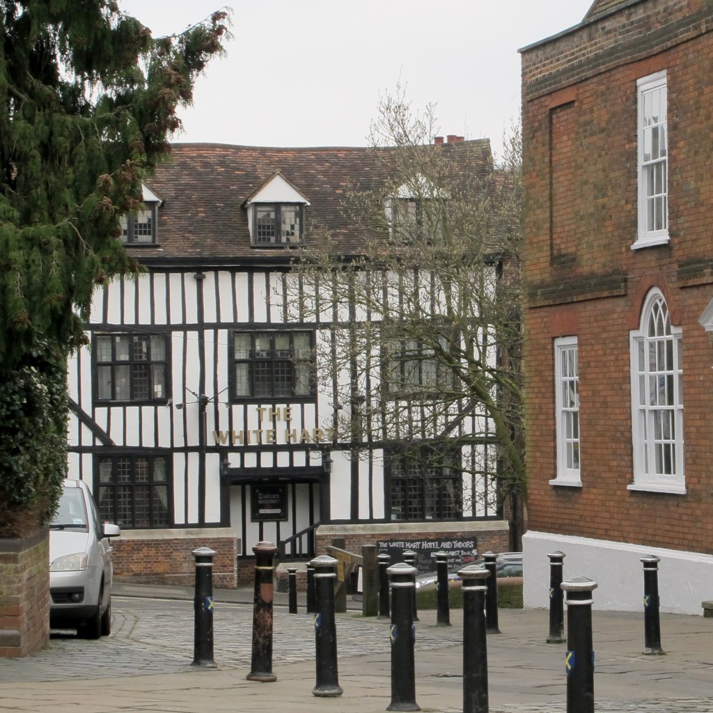
After the Dissolution of the monasteries, the rights to hold hold the market (provisions and livestock) on Wednesdays and Saturdays were sold to the town in 1553 by King Edward VI. Four centuries later St Albans became a major coaching stop to and from London; new forms of hospitality maintained the town’s thriving economy with a wide choice of coaching inns for travellers. In the 19th century railways replaced the coach and horses and the town flourished on the new breed of commuters – London was now only half an hour away.
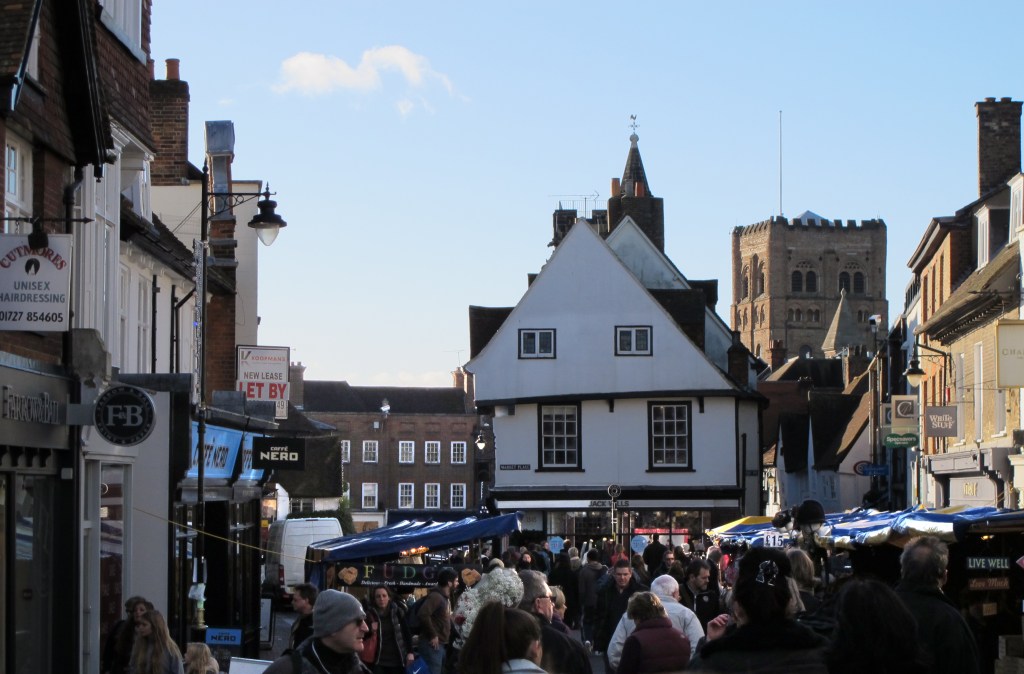
Into the 20th century and although the town was close to London it wasn’t seriously affected by the two world wars; between the wars Verulamium was excavated and the lake was created. In the post-war era I was born, cars began to fill the streets, by the 1960s the folk, jazz and poetry scene filled the pubs; but in the early 1970s the livestock market closed. It seemed to me (by then age 20) a significant change, St Albans was no longer a market town, it lost some of its identity and became simply another commuter dormitory. For several reasons it was also time for me to move on and I left my home town permanently in 1977.
Nevertheless, on subsequent visits over many years I’ve continued to enjoy the old town area, the Abbey and Verulamium Park, often surprised to see recent changes, but the rich diversity of the town-centre’s buildings, spanning nine centuries (plus the Roman remains down the hill) made it an excellent place to absorb a sense of history as a child; it was good to have grown up in this handsome town.
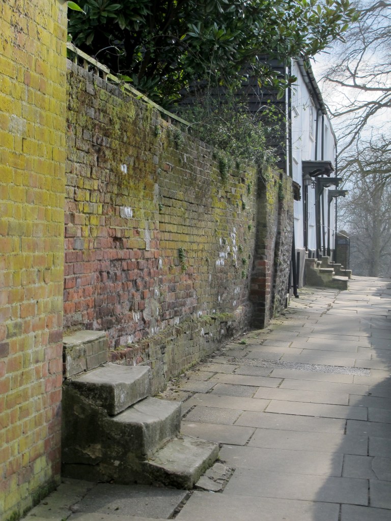
All photos © Liz Milner.
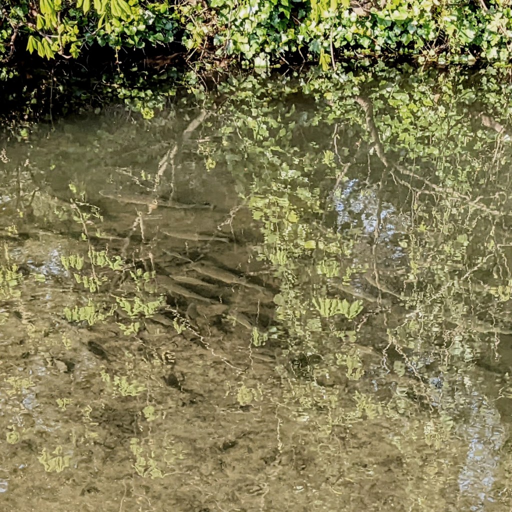
- Chalk streams
From St Albans City Council website topic on revitalising the River Ver:
“The River Ver in St Albans flows through Verulamium Park and the heart of the city. It is one of around only 200 chalk rivers in the entire world.
Chalk rivers are fed from the chalk aquifer [beneath the Chiltern Hills] (the underground layer of rock saturated with groundwater). They are naturally crystal clear and support a huge diversity of habitats and wildlife.Their rarity and importance have led them to be described as ‘England’s Rainforest’.
“Unfortunately, like many chalk rivers, the River Ver has fallen into a bad state. In St Albans, the river channel has been heavily modified over the years. The concrete banks [created when the Lake was being dug in 1929] mean it can’t support the habitats it should. In places, the river channel has been moved to support industry such as mills. This has led to an artificially over-wide, over-straight channel and sluggish flows. These alterations contribute to the gravel bed being smothered with a thick layer of silt.
The river is also unable to support the iconic chalk stream plants we would like to see. One reason is that the channel is also overshadowed by trees which prevents light reaching the river and allowing chalk river plants to thrive….chalk streams need about 70% light to 30% dappled shade to support the habitats and wildlife that they are so well known for” eg brown trout, water voles and water crowsfoot.
The Ver, like many other chalk streams, is by nature a seasonal watercourse (so its flow has always been variable), but over time water levels in the aquifers have diminished while increasing abstraction along the river for drinking water and industrial use has led to reduced flow – it’s this flow from the Ver that fills, or should fill, the Lake, and that is now silting up.
↩︎ - Ver water mills over the centuries
Despite the irregular flow of the water (one 13th C Abbot had to introduce a horse gin driven mill to provide additional power to drive the mill wheels) this same river had provided power for water mills possibly as far back as the Romans who are thought to have created channels alongside parts of the Ver to manage the flow of water to mills. There is now just one mill still in use (as far as I know) three miles upstream from the Lake, at Redbournbury and it’s fully functional, producing stoneground bread flour from local wheat.
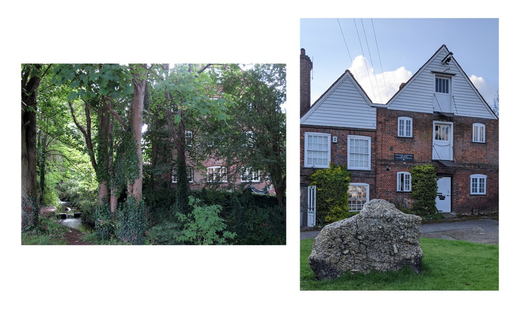
But in the past there were about a dozen mills along the 15 mile length of the Ver, including, just beyond the park’s boundaries at each end, two mills owned by the Abbey until the Dissolution of the Monasteries in the mid 1500s. At the south east corner the river had provided power to Abbey Mill for centuries of corn milling, but by the 19th century it had become a silk mill until it closed down for good in the 1930s. At the opposite end of the Lake, not far from where I’d catch minnows, was Kingsbury flour mill dating back to at least the 16th century, probably older – it was in use up to the 1960s and remains intact but is now a restaurant. In its earlier days it had been the Abbey’s malt mill where malted barley was crushed for brewing beer, leaving an aromatic scent to linger around the mill.
There would have been many more varied and pungent (often very unpleasant) odours in this area over previous centuries; before it was cleared the water in the marshy area beside the river would become stagnant and sulphur-scented in the summer, while very close to my cherished fishing spot a tannery operated in the 16th and 17th centuries producing a retch-inducing smell of putrefying meat from the hides themselves plus ammonia from processing them into leather using tannins, animal dung and urine – all washed out into the river.
But over several centuries there were several other water mills along the River Ver using water power to grind corn into flour and other grains for animal fodder. The water power of the mills was also used saw wood, throw silk, cleanse and soften woollen fabrics (fulling – a process that sometimes used stale human urine, plus powerful hammers to pound the cloth), make wicks for candles, weave cotton, produce paper and even polish diamonds in the 18th century. Until the 19th century most of these processes produced waste (along with a cacophony of noise) that would have been discharged into the river to wash away and could have contaminated water supplies for miles downstream. Unfortunately river pollution problems have existed for centuries! ↩︎

